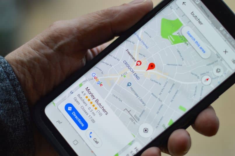
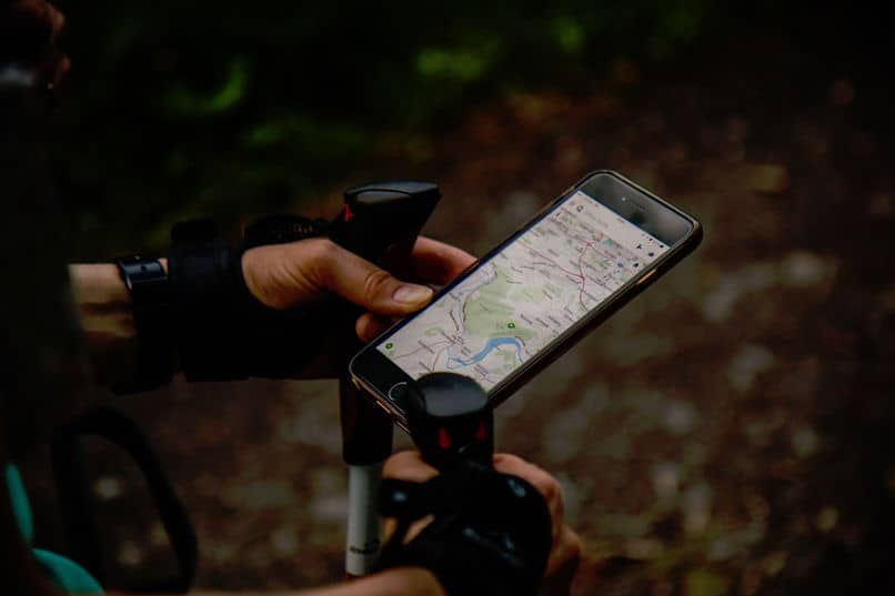
Since GPS technology has been available to citizens, it has become a great ally, perfecting the transit of routes, so that people and means of transport can get from one point to another in the fastest and safest way.
Each renewal of this important tool brings with it elements that are interesting and important to know and explore. Different technology companies such as Windows, Apple and Google have developed such applications to provide their users with a better experience.
The transcendent Google Maps
Undoubtedly, of all the entities that have tried to position themselves as the best in the development of this technology, Google has an incredible advantage, due to the high rate of improvement of this tool.

This server provides satellite images and provides routing tools to find out the best route to reach your destination, whether it is walking, cycling, transport or private car.
Featured Features
This application does not stop at basic functions. Over the years it has been improving and evolving, having a considerable impact in the commercial field. This is due to the fact that, in tracing the route from one place to another, it will be possible to visualize or appreciate places of interest.
Along the way, Google Maps will let you know places such as: restaurants, hotels, parks, cafes, bars, banks, service stations and any other type of commercial establishment, park or tourist attraction.
The estimate of time to go from your starting point to your destination is another of the attractions of this application, important in situations in which you must calculate the time to arrive at a place on time.
Google maps and tools
Google Maps “hides” a series of spectacular tools to provide a better experience to its users when using them. So that you can squeeze one hundred percent of its most attractive options, here you will have a series of recommendations:
-
Save personal routes: For future walks or to remember which is the best way to get to a certain place, you can use the “Your places” option and mark important or interesting places for another time. You can also share it with contacts or import them.
-
Street View: Considered one of the best tools that Google Maps makes available, it will allow you to have a better view of the streets, squares or parks. In this way, when visiting a certain place, you can have visual references so you don’t get lost. This option also has a 360-degree view, which would make it easier for you to familiarize yourself with the area.
-
Transportation: When setting a route to reach a destination, Google Maps will ask you to indicate your means of transportation. If in your case, you must use public transport, the application could offer you more details regarding the hours of operation and the route you would take when moving, for example, on a bus.
Exploring your current location
If you have recently moved and want to know a little more about the area without having to leave home aimlessly, you can use Google Maps to do so. This will help you locate everything from ATMs, gyms, to fast food establishments.

Do you need fast lanes?
Google Maps, through the interface of the “traffic” option, you will be able to know how congested a road can be, so that you take the necessary precautions to select an alternate route and arrive on time to classes, work or an appointment.
organized stops
If you need to go from one place to another and know the distance and time it will take to get to each of them, you can use the Google Maps “Measure Distance” tool. In this way, you will be able to select the points between one destination and another to end up indicating the distance between each one of them.
offline maps
One of the few criticisms that this application could have is the use or consumption of browsing data. However, the solution came with the ability to download maps for offline use. In this way you can follow the route that will take you to the indicated destination without having to be connected.


